
Exploring the Impact of GIS Technology
Geographic Information Systems (GIS) have revolutionized the way organizations analyse and interpret spatial data. GIS technology integrates various data sources to provide a comprehensive view of geographic information, facilitating informed decision-making. GeoCentroid, a leading GIS service provider, displays the profound impact of this technology through its innovative solutions and projects.
The Essence of GIS Technology
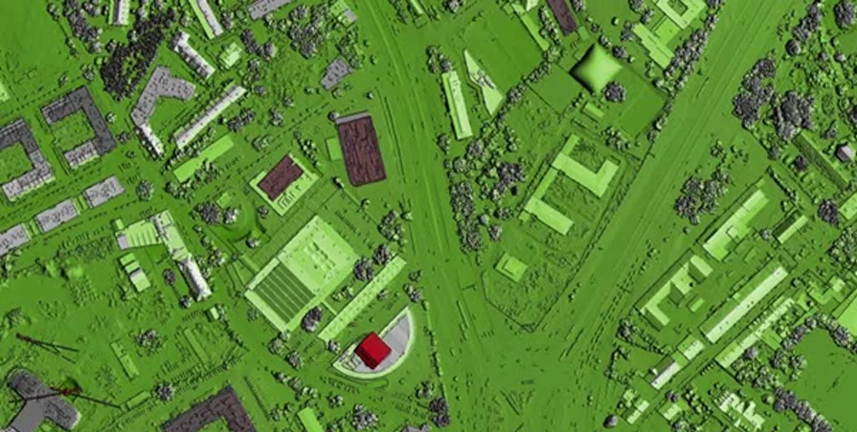
At its core, GIS technology involves the collection, storage, analysis, and visualization of spatial data. It merges cartography, statistical analysis, and database technology to capture and analyse geographic data. GIS enables users to visualize data in the form of maps and 3D models, providing insights into spatial patterns and relationships that are crucial for various applications.
Key Applications of GIS
- Disaster Management: GIS is invaluable in disaster management, aiding in risk assessment, emergency response, and recovery planning. By mapping hazard zones and analysing the potential impact of natural disasters, GIS helps in formulating effective mitigation strategies and improving preparedness.
- Public Health: In the realm of public health, GIS technology assists in tracking disease outbreaks, analysing health service distribution, and planning healthcare interventions. It enables health authorities to identify hotspots, allocate resources efficiently, and monitor the spread of infectious diseases.
- Agriculture: GIS supports precision agriculture by enabling farmers to analyse soil conditions, crop health, and weather patterns. This technology helps in optimizing planting strategies, improving yield, and reducing environmental impact through targeted interventions.
GeoCentroid’ s Contributions to GIS
GeoCentroid leverages advanced GIS technology to deliver cutting-edge solutions tailored to the unique needs of its clients. Its services encompass a wide range of applications, including urban planning, environmental monitoring, and resource management. By utilizing sophisticated GIS tools, GeoCentroid provides actionable insights that drive efficiency and sustainability.
One of GeoCentroid’ s notable projects involve the assessment of land use and land cover changes over time. By analysing satellite imagery and spatial data, they help clients understand the dynamics of urbanization, deforestation, and other land cover changes. This information is critical for making informed decisions related to urban development, conservation, and land management.
Another significant contribution of GeoCentroid is in the field of climate change analysis. By evaluating changes in Land Surface Temperature (LST), GeoCentroid aids in understanding the impact of urbanization and climate variability. Their comprehensive analysis helps in developing strategies to mitigate the adverse effects of climate change and promote sustainable development.
The Evolving Landscape of GIS Technology
The field of GIS technology is rapidly evolving, with continuous advancements enhancing its capabilities. Emerging technologies such as artificial intelligence (AI), machine learning (ML), and big data analytics are being integrated into GIS to provide deeper insights and predictive analytics. GeoCentroid remains at the forefront of these advancements, continuously adopting modern technologies to offer superior GIS solutions.
GeoCentroid’ s commitment to innovation ensures that their clients benefit from the latest developments in GIS technology. By staying updated with industry trends and investing in research and development, GeoCentroid provides state-of-the-art services that address the evolving needs of their clients.
In conclusion, GIS technology is a powerful tool that transforms spatial data into valuable insights. GeoCentroid’ s expertise in this field exemplifies how GIS can be harnessed to address complex challenges and drive sustainable development. As GIS technology continues to advance, organizations like GeoCentroid will play a crucial role in unlocking its full potential, leading to more efficient and informed decision-making.
#GIS #GeospatialIntelligence #GeographicInformationSystems #SpatialAnalysis #GeoCentroid #GISMapping #GeospatialData
                #LocationIntelligence #GISTechnology #DigitalMapping