
Exploring the Components of Digital Twin Technology
Introduction to Digital Twins
Digital Twin technology is revolutionizing various industries by providing a virtual replica of physical assets, systems, or processes. This cutting-edge technology enables real-time monitoring, analysis, and optimization, leading to enhanced efficiency and decision-making. GeoCentroid, a leader in BIM, As-Built Modelling, Visualization & GIS technology, is at the forefront of integrating Digital Twin solutions into its services. This article explores the essential components of Digital Twin technology and their applications, with GeoCentroid’ s innovative approach.
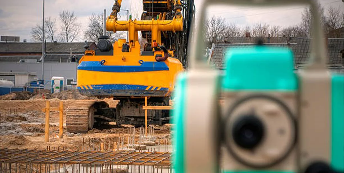
Physical Asset or System
At the heart of Digital Twin technology lies the physical asset or system being replicated. This can range from machinery and equipment in manufacturing to entire cities in urban planning. GeoCentroid’ s expertise in GIS allows for the creation of highly accurate digital models of urban environments, facilitating better planning and resource management.
Sensors and IoT Devices
Sensors and IoT (Internet of Things) devices play a crucial role in Digital Twin technology. These devices collect real-time data from the physical asset, measuring parameters such as temperature, pressure, vibration, and operational performance. GeoCentroid leverages IoT technology to gather comprehensive data for its digital models, ensuring high fidelity and accuracy.
Data Collection and Transmission
The data collected by sensors is transmitted to a centralized digital platform for processing. This involves the use of robust communication networks and protocols to ensure seamless data flow. GeoCentroid’ s advanced data collection infrastructure enables efficient and reliable transmission of real-time data, providing a continuous update to the Digital Twin.
Digital Model or Replica
The digital model is a virtual representation of the physical asset, created using the data collected from sensors. This model is continuously updated to reflect real-time changes and conditions. GeoCentroid’ s GIS capabilities allow for the creation of detailed and dynamic digital models of urban landscapes, aiding in accurate simulation and analysis.
Data Processing and Storage
Handling and storing the vast amounts of data generated by sensors is a critical component of Digital Twin technology. GeoCentroid employs cloud-based storage solutions and edge computing to process data closer to where it is collected. This infrastructure ensures efficient data handling and quick access to insights.
Analytics and Machine Learning
Advanced algorithms and machine learning techniques are applied to analyse the data collected. These tools help predict future behaviour, diagnose issues, and optimize performance. GeoCentroid integrates machine learning with GIS to provide predictive analytics and advanced simulations, enhancing decision-making processes.
Simulation and Modelling
Simulation and modelling capabilities allow users to run what-if scenarios and understand potential outcomes. This is vital for planning, testing, and strategic decision-making. GeoCentroid’ s simulation tools enable urban planners to visualize the impact of various projects and make informed choices.
Visualization Tools
Interactive interfaces and visualization tools, such as dashboards, 3D models, VR (Virtual Reality), and AR (Augmented Reality), allow users to interact with the Digital Twin. GeoCentroid’ s visualization solutions provide an intuitive and immersive experience, making complex data more accessible and actionable.
Integration with Other Systems
Integration with enterprise systems like ERP (Enterprise Resource Planning), PLM (Product Lifecycle Management), and CRM (Customer Relationship Management) ensures a holistic view and improves overall efficiency. Integration application tools seamlessly integrate with these systems, offering a comprehensive platform for urban management.
Conclusion
Digital Twin technology, with its myriad components, offers a powerful framework for monitoring, managing, and optimizing physical assets and systems. GeoCentroid’ s innovative integration of GIS and Digital Twin solutions exemplifies the transformative potential of this technology in urban planning and resource management. Embrace the future of Digital Twins with GeoCentroid and unlock new levels of efficiency and insight in your operations.
#DigitalTwin #DigitalTwinTechnology #GeoCentroid #SmartCities #VirtualModeling #DigitalTwinSolutions #RealTimeData
#DigitalTwinInnovation #InfrastructureManagement #DigitalTwins