-
GeoCentroid Main Services
-
Geocentroid has been established as Geomatics, Engineering and BIM solution company. Our professional team consist of highly qualified technical and subject experts.
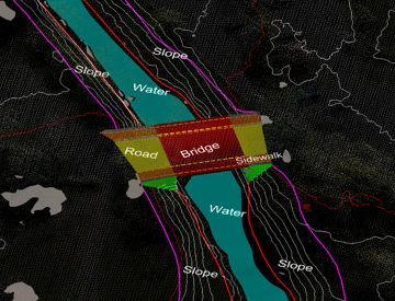
BIM & 3D-Modelling
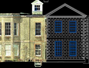
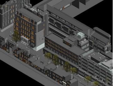
As a leader in utilizing 3D Laser Scanning technology, we developed a method which delivers accurate and fast survey information in a BIM-ready model.
Read More
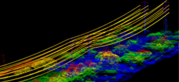
LiDAR Engineering
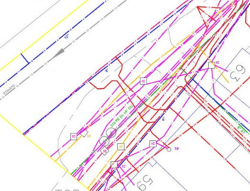
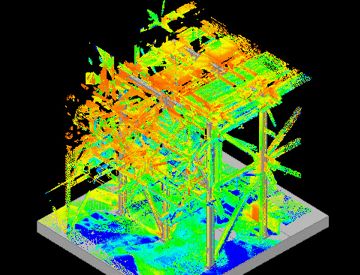
GeoCentroid LiDAR survey team have experience and skills in provides data processing, classification and Mapping services
Read More
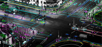
LiDAR Mobile Mapping
Mobile LiDAR is an innovative mapping solution that incorporates the most advanced Lidar sensors, cameras and position / navigation
Read More
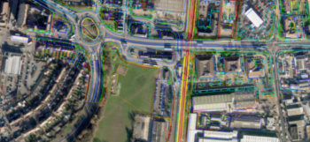
Photogrammetry and Ortho
GeoCentorid Photogrammetry team utilizes large-format digital imagery and ground coordinate information to effectively recreate
Read More
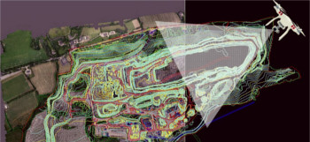
UAV data processing
The Unmanned Aerial vehicles (UAVs) or UAS (Unmanned Aircraft System) mounted with digital cameras, films high-resolution aerial imagery which can be further
Read More

LOOKING AN ADEQUATE SOLUTION FOR YOUR COMPANY?
About Us
GeoCentroid Private limited a consulting firm offering
Geospatial, Engineering and BIM related Services for the
Infrastructure, GIS, Civil (AEC), Urban planning, Utility,
and Geomatics industry.
Our organization has more than 20 years of skilled
professionals’ who have worked on many of the world's
most
challenging projects.
GET IN TOUCH
We provide innovative product solutions for sustainable progress. Our professional team works to increase productivity and cost effectiveness on the market.
